


A Sense of Place: The history behind our named places
The following article was written by Northport Historical Society Curator Teresa Reid and shared with the Journal for publication.
From the time our area was purchased from members of the Matinecock tribe to the high-density housing complexes of today, Northport has gone through many phases of development. The earliest settlers were attracted to the deep harbor and the forests thick with lumber. Shell fishing, ship building, and sand mining were lucrative, affording many large manor homes and vast estates for the industrialists.
As populations boomed, family estates were subdivided and sold off. Acres of farmland were sold to developers, while roads were built to accommodate the automobile. Through the many changes, we have been able to honor the past while keeping up with progress by choosing significant names for the places we visit every day. These names provide clues to our shared history and values and stay in our consciousness, giving us a sense of place, a place we call home.
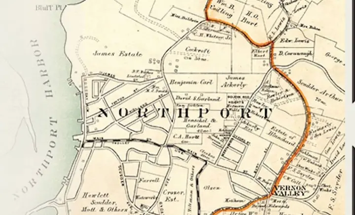
Visitors to the Northport Historical Society Museum can view its latest exhibit, “A Sense of Place,” which was curated by Teresa Reid with art design by Christine Doll, and learn the history behind the names of our streets and developments. The stories are told with historic documents, such as deeds as early as 1708, photos, artifacts, and maps. The exhibit features the street names of Scudder Avenue, Lewis Road, James Street, Ketcham Court, and many more. Also featured are some of the major housing developers like Vail and Call, who built numerous houses throughout Northport.
Here’s a sneak peek of what visitors to the exhibit can expect:
Asharoken
In 1900, Northport real estate developer William B. Codling began selling lots on what was called East Beach at the time. He changed the name of the area to honor the Matinecock chief who first sold the land to the English settlers in 1656. The deed was signed by both Chief Asharoken and Chief Makamah.
Bevin Road
Cornelius H. DeLamater owned an iron works in New York City, where he designed and built components for the USS Monitor during the Civil War. In 1862, he bought property on Eaton’s Neck and began construction of Vermland, a palatial summer estate. Originally named Walnut Neck Road, the main road out to the estate served as its driveway. DeLamater’s daughter Laura married Leander Bevin in 1883, eventually inheriting the house and land. They had two sons, Sydney and Victor. The house and road were renamed in Laura’s honor. Sydney and Victor were involved in the early formation of the school district in Northport, both serving as trustees of the board in the 1920s. Sydney also served as Asharoken mayor and Victor as a trustee of the Asharoken Village Board. During WWII, the popular book, “The Little Prince,” was written by Antoine de Saint-Exupery in the Bevin House.
Eaton’s Neck
In 1637, Theophilus Eaton, a wealthy merchant from England, led a group of traders to the “New World,” and founded the Colony of New Haven. Eaton explored the coast of nearby Long Island and acquired land from the Matinecock, which included what is now called Eaton’s Neck, in 1646.
Cherry Lawn Lane
Built in 1927, the road was named to honor the manor house on Eaton’s Neck, named “Cherry Lawn,” which was built around 1663 by George Baldwin, who owned the Neck at that time. It was later expanded by the Bryan Family.
Hobart Beach
In 1710 Alexander Bryan sold the Neck to John Sloss, a wealthy merchant from Fairfield, Connecticut. After his death, the land passed to his daughter Ellen, who married Reverend Noah Hobart, then passed it on to her son John Sloss Hobart in 1754. Hobart lived at Cherry Lawn, raising cattle and sheep until he was elected as a delegate to the Provincial Congress, which approved the Declaration of Independence. After the war, Hobart served on the New York State Supreme Court for 20 years and introduced the bill that authorized the construction of the Eaton’s Neck Lighthouse. In 1958, the town beach on Eaton’s Neck was renamed in his honor.
Robert Lennox Road
Robert Irving Lennox was employed by the U.S. Sand & Gravel Corp. to find suitable land for sand mining. In 1948, when Rosalie Jones applied for a permit to mine her property, Lennox took note. The town denied the permit, but Lennox realized the potential for residential housing development.
In 1952, Rosalie Jones sold her land to the newly formed Eaton’s Neck Sound Corporation, founded by Robert Lennox. On the map showing possible subdivisions, the roads were given names after counties in England: Argyle, Carlise, Essex, etc.
Robert Lennox died suddenly, never seeing his dream realized. His death delayed the development of this part of Eaton’s Neck until the corporation could acquire funding, which they did by selling the “Sand City” area to the town. The town created the beach here, later named Hobart Beach.
The Northport Historical Society and Museum is located at 215 Main Street and is open Wednesday through Sunday, from 1 to 4:30pm. “A Sense of Place,” runs until May 2024. For more information on this and upcoming exhibits, pop-ups and events, visit www.northporthistorical.org.
Don’t miss a story
Get the latest news delivered to your inbox.


